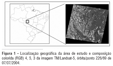
The main objective of this paper was to evaluate MOD14 product performance to detect burned areas in Amazonia, more specifically in the north of Mato Grosso State (Brazil), considering the period of 06/21/2004 to 07/07/2004, by comparing the results provided by MOD14 product with visual discrimination of burned areas using TM/Landsat-5 images. MOD14 product detected 51.58% of the total burned areas, which have an average size of 83.14 ha; the remaining 48.42% undetected burned areas have an average size of 38.74 ha. MOD14 product overestimates the burned areas by classifying exposed soils, forests and other types of land cover as hot pixels. In addition MOD14 product does not detect small burned areas (< 100 ha), generating classification errors in large areas of exposed soils.
Remote sensing; Burned areas; Hot pixel detection algorithm