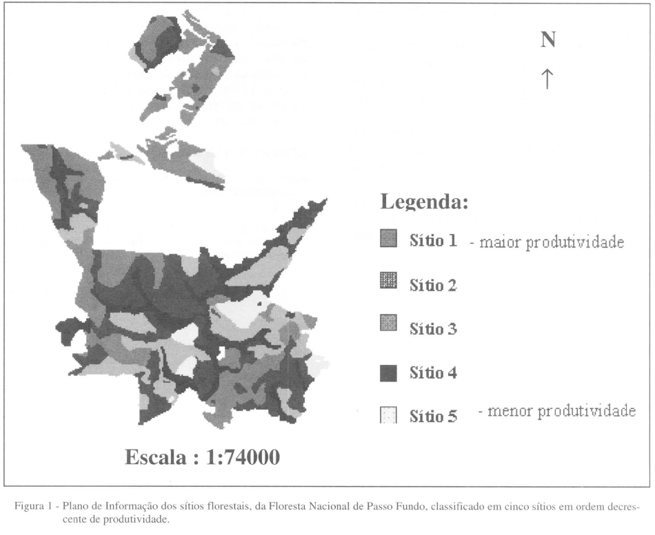
The objective of this work was to utilize programs of geoprocessing and treatment of images, considerated to be well-knowm and easily operated, for numerical modelling of a thematical map. This modelling is carried out from feeding a digital base bank, for forest planning and cadaster. More specifically, a methodology that uses the numerical modelling for tridimensional visualization of a layer of geoindicated forest sites has been designed to permit the crossing (superposition) with other layers, also, related to the forest area. The following materiais have been used in order to reach the goals: a map of natural sites in the National Forest of Passo fundo, hardware (microcomputer, ink jet printer, table scanner), software (Idrisi 4.1 and Aldus PhotoStyler 2.0). The employed methodology based geoindication for posterior numerical modelling and tridimensional visualization of the different site represented in the plannimetrical map of the National Forest of Passo fundo. As a result, representative archives about the employed methodology were obtainde to help in identifying, through different heights, the site where the most adequated species to their natural characteristics can be implanted, showing, the viability of the application of the present methodology in forest.
geoprocessing; tridimensional visualization and crossing of layers

 Numerical modelling in thematical map: forestal sites
