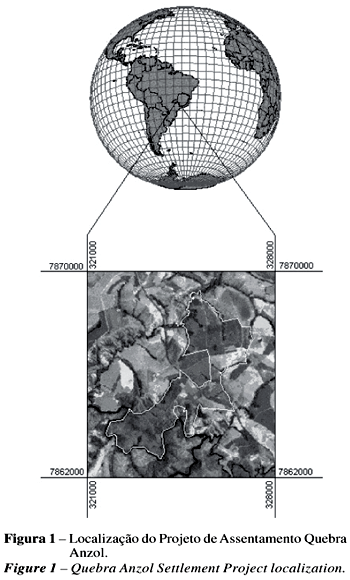
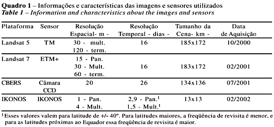
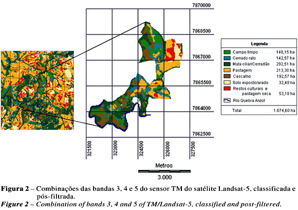
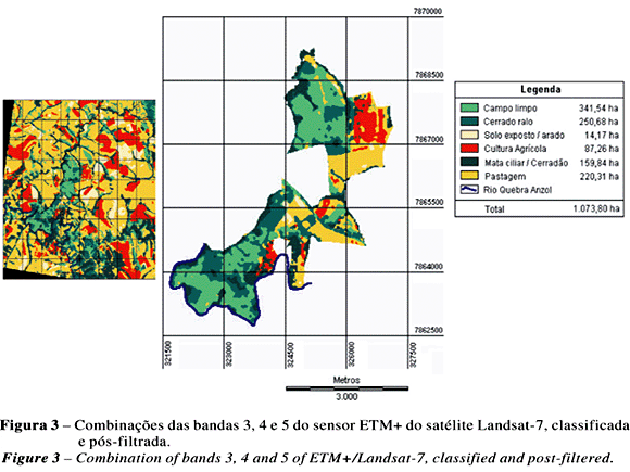
Technical and economical analyses were performed on IKONOS, Landsat TM 5 and Landsat ETM+ 7 and CCD/CBERS data in order to verify their feasibilities to subsidy agrarian reform projects. Results showed that IKONOS data presented excellent technical viability but its high cost prevents its use. Landsat ETM+ 7 data, with low cost, presented good technical viability, however due to the problems occurring in the satellite operation, its use was also prevented . CCD/CBERS data presented the second best similarity with the ground truth data, although it has presented the small kappa statistic index for the classification. With the launch of the CBERS 2, along with its low cost and possible radiometry correction, it is expected that CCD/CBERS can become a good source of data for agrarian reform projects. Landsat TM 5 data presented the worst technical viability, however, its low cost and potential use as data base is recognized by INCRA, which continues using it as the major source of data for agrarian reform projects.
Remote sensing; sensors; technical analyses; classification; cluster analysis