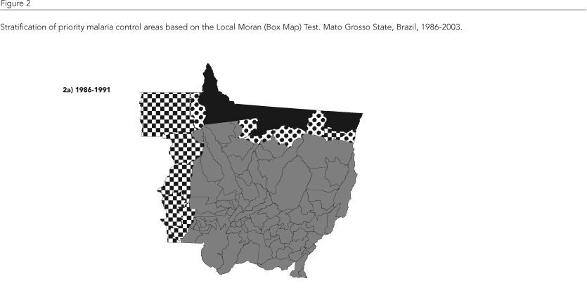
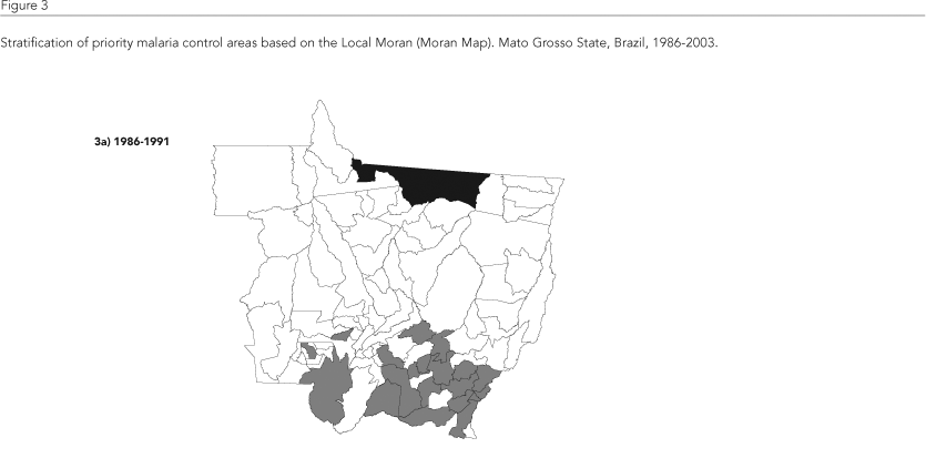
The goal of this study was to stratify priority areas for malaria control in the State of Mato Grosso, Brazil, based on spatial analysis. The variables used were: Annual Parasite Index (API), Plasmodium falciparum/Plasmodium vivax ratio, population variation, number of families settled, and percent of deforested area. The Moran's I and Local Moran Test were applied, visualized with the Box Map and Moran Map, for 1986- 1991, 1992-1997, and 1998-2003. Box Map identified areas with high, low, and intermediate priority for control, and Moran Map identified municipalities with significant autocorrelation. In the high priority area, located in the North of Mato Grosso, malaria incidence decreased drastically despite the increase in the number of municipalities from the first to the last period. Other municipalities were added to the lower priority area, from the Southeast, Southwest, and Central-South of the State. The intermediate priority area was located along the border with neighboring States and municipalities classified as high and low priority. Spatial analysis showed the importance of the neighboring phenomenon between municipalities in defining priority areas, thus highlighting the technique's advantages for use in malaria control and surveillance.
Moran's I; Malaria; Communicable Disease Control; Spatial Analysis


