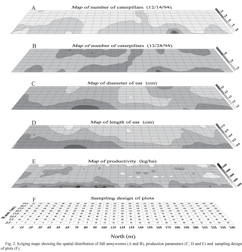
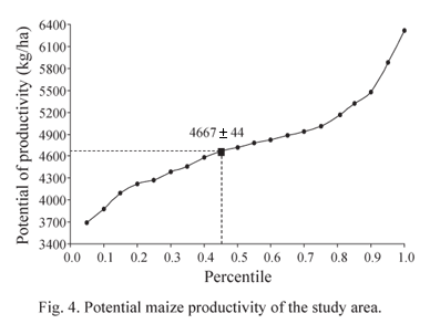
The fall armyworm, Spodoptera frugiperda (J.E. Smith), is one of the chief pests of maize in the Americas. The study of its spatial distribution is fundamental for designing correct control strategies, improving sampling methods, determining actual and potential crop losses, and adopting precise agricultural techniques. In São Paulo state, Brazil, a maize field was sampled at weekly intervals, from germination through harvest, for caterpillar densities, using quadrates. In each of 200 quadrates, 10 plants were sampled per week. Harvest weights were obtained in the field for each quadrate, and ear diameters and lengths were also sampled (15 ears per quadrate) and used to estimate potential productivity of the quadrate. Geostatistical analyses of caterpillar densities showed greatest ranges for small caterpillars when semivariograms were adjusted for a spherical model that showed greatest fit. As the caterpillars developed in the field, their spatial distribution became increasingly random, as shown by a model adjusted to a straight line, indicating a lack of spatial dependence among samples. Harvest weight and ear length followed the spherical model, indicating the existence of spatial variability of the production parameters in the maize field. Geostatistics shows promise for the application of precise methods in the integrated control of pests.
Zea mays; fall armyworm; semivariogram; kriging


