ABSTRACT
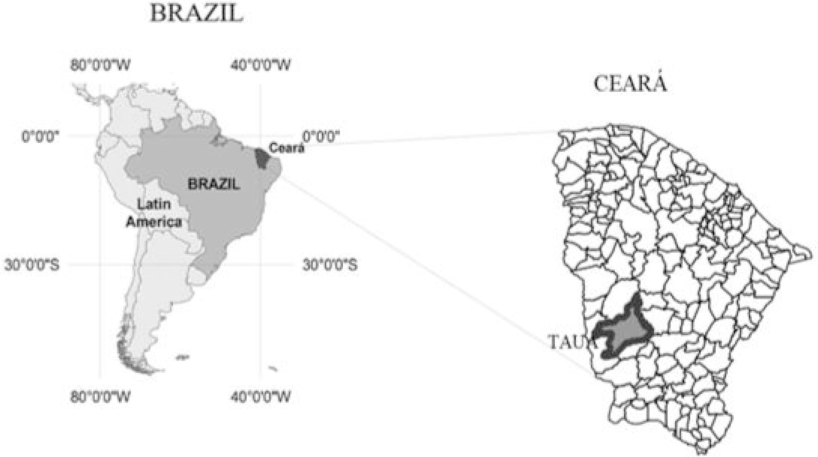
One of the most effective procedures in the evaluation of degraded areas has been the use of remote sensing. The aim of this work was to evaluate the temporal dynamics of the NDVI and rainfall in detecting the degradation of natural resources in a semi-arid region of Brazil. The area under study is located to the west of the district of Tauá, in the State of Ceará, with a predominance of shrub-like caatinga forest. Rainfall data was obtained from FUNCEME. Ten images (dry season) were acquired from a 27-year historical series (1985-2011) from the TM/LANDSAT5 sensor, later converted to surface reflectance using the FLAASH/ENVI extension; NDVI indices were obtained and divided into six classes corresponding to land usage and occupation. The mean values of the NDVI classes were submitted to statistical analysis and compared by T-test (p<0.05) and the Pearson correlation matrix. It was found that in the years with rainfall above the historical average (1985-1993 and 1996-2004) there was a significant increase in degraded areas, represented by low values for the NDVI (between 0 and 0.4), due to more land being used for subsistence farming. However, during periods of drought (1993-1996 and 2004-2011), the opposite behaviour was seen, characterised by the natural regeneration of the woody stratum due to agricultural areas being abandoned; behaviour that was evidenced by increases of up to 1,807% in the moderately high class of the NDVI (between 0.6 and 0.8). The spatial and temporal dynamics of the NDVI and the rainfall therefore played a part in detecting evidence of the process of degradation of the caatinga biome in an area of the district of Tauá, in the State of Ceará.
Key words:
NDVI; Caatinga; Landsat TM5; Desertification