 Probabilistic dam-breach flood mapping using full and truncated hydrodynamic models
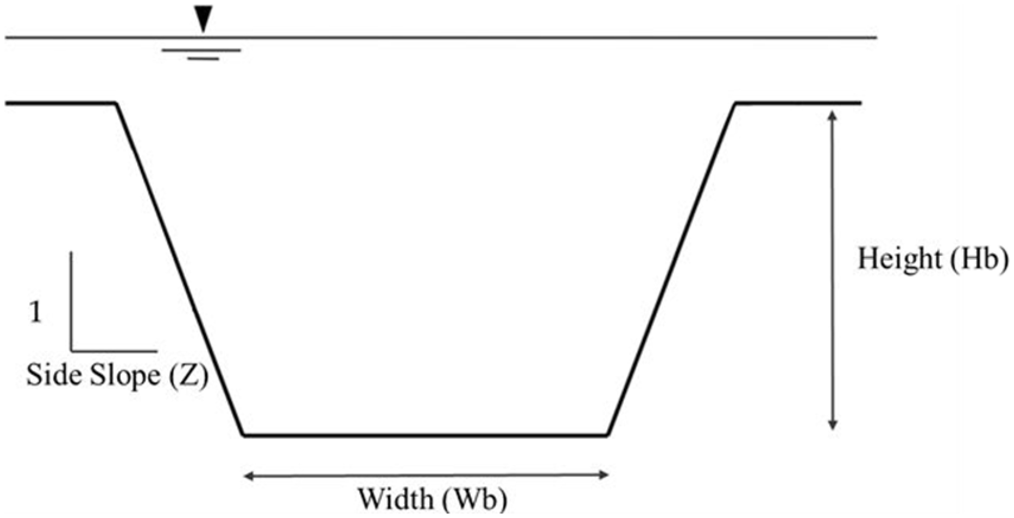
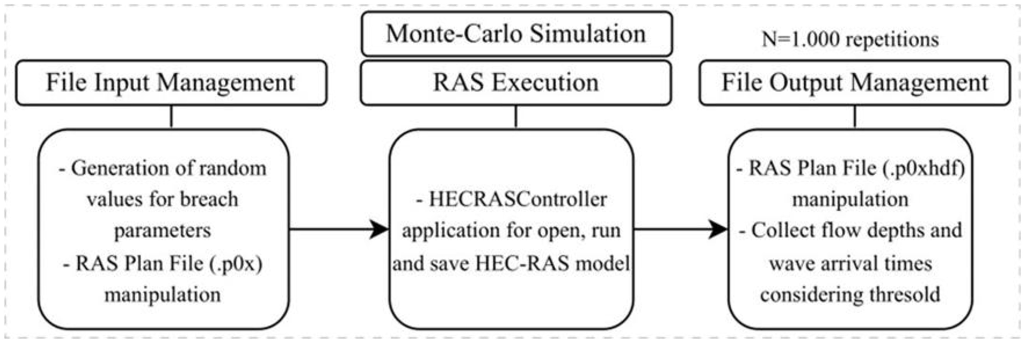
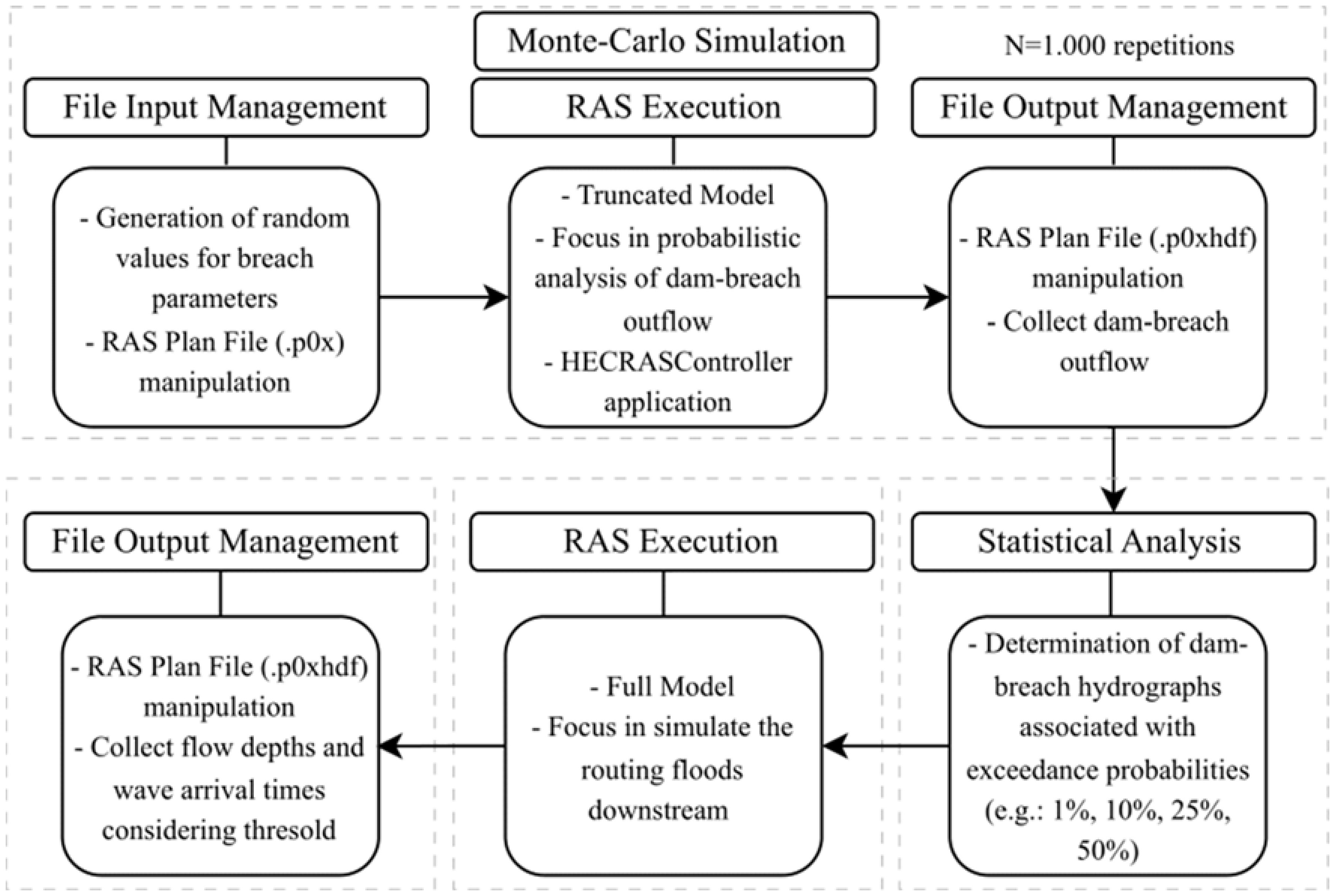
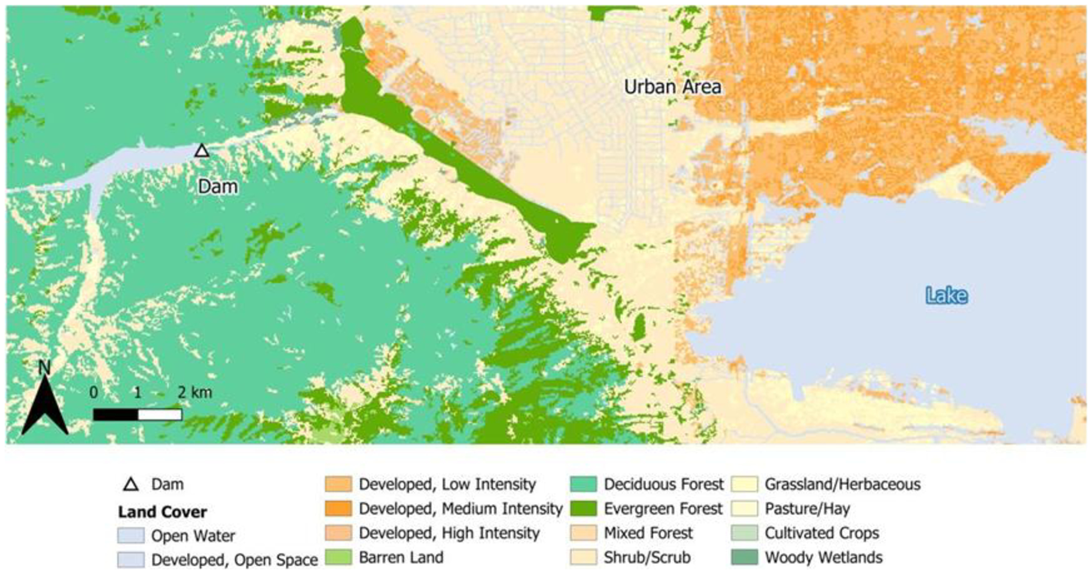
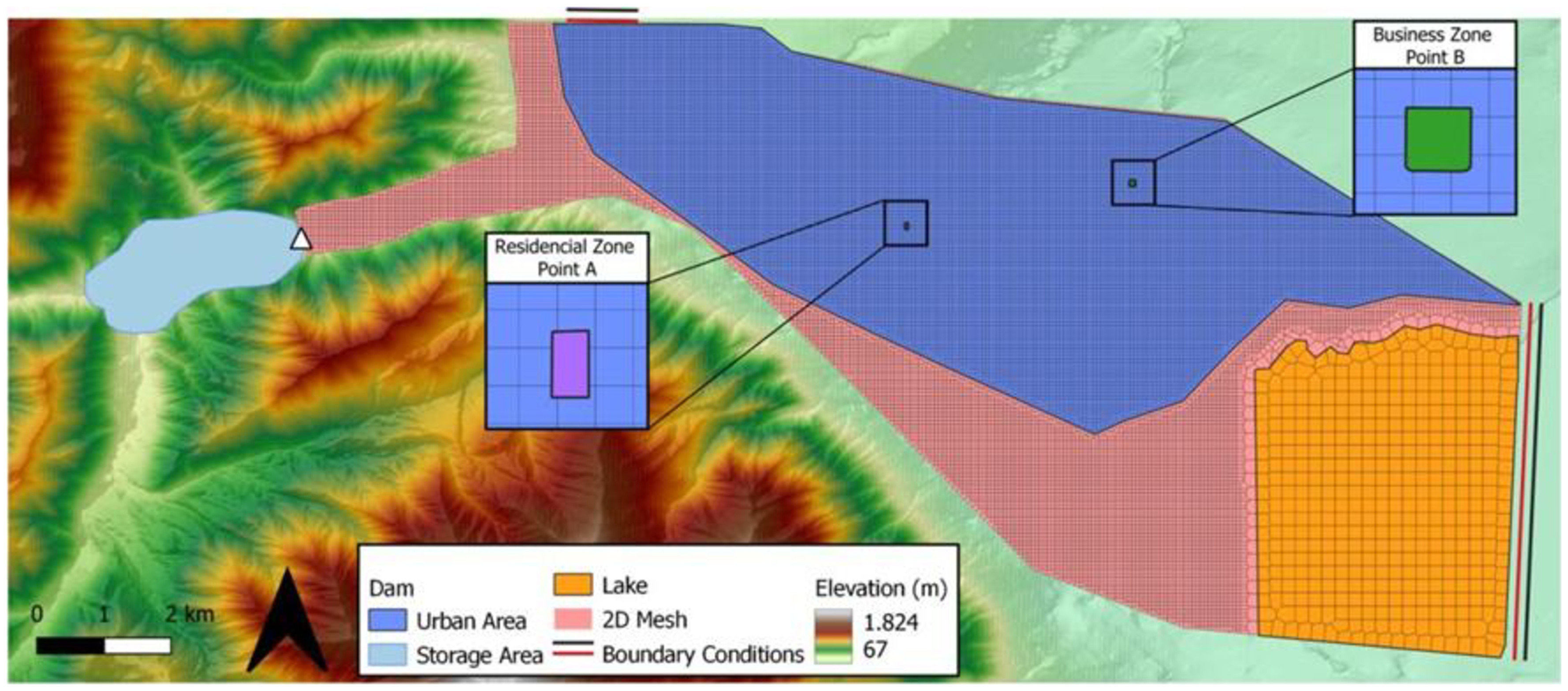
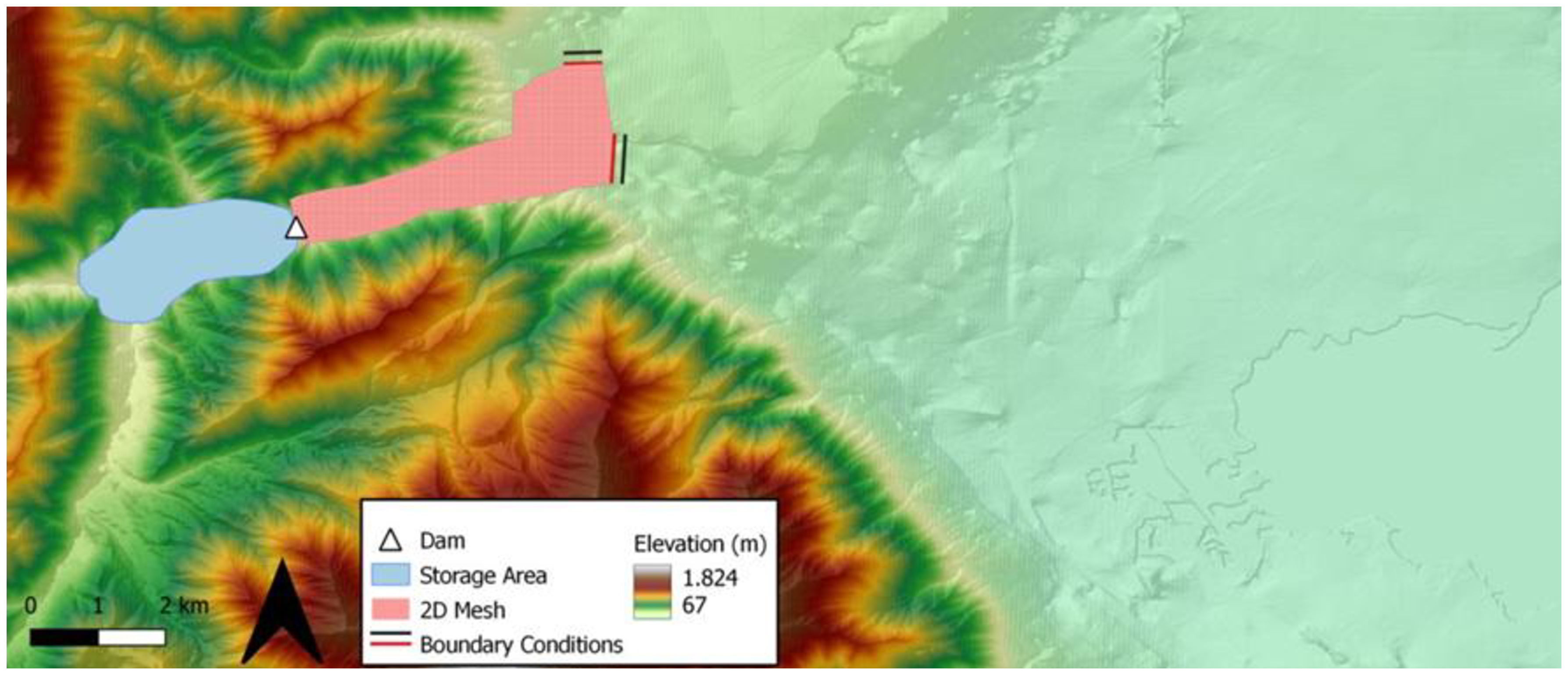
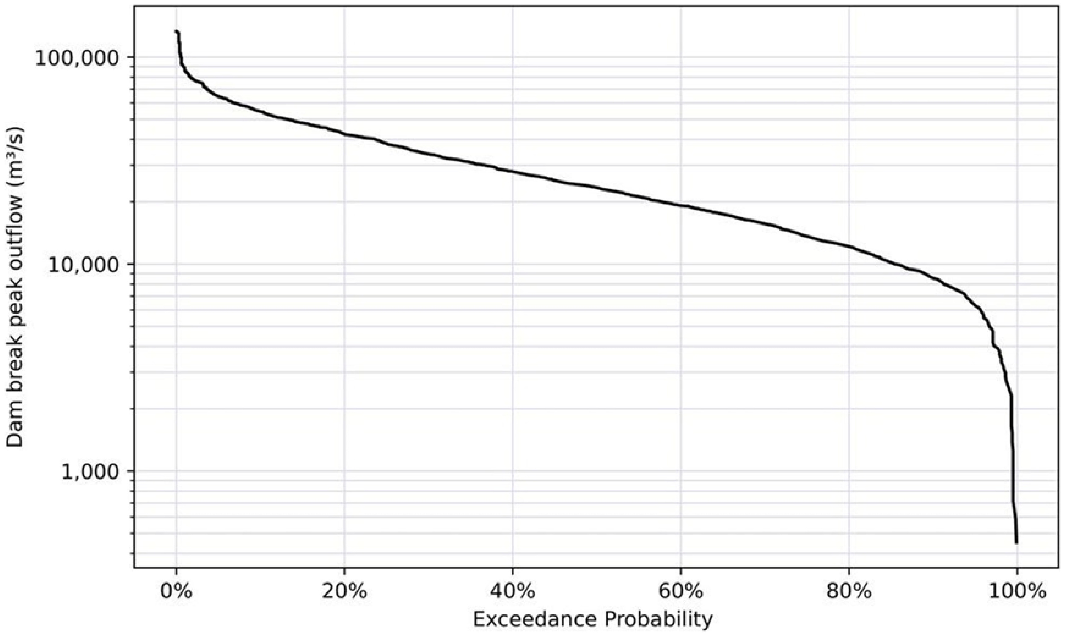
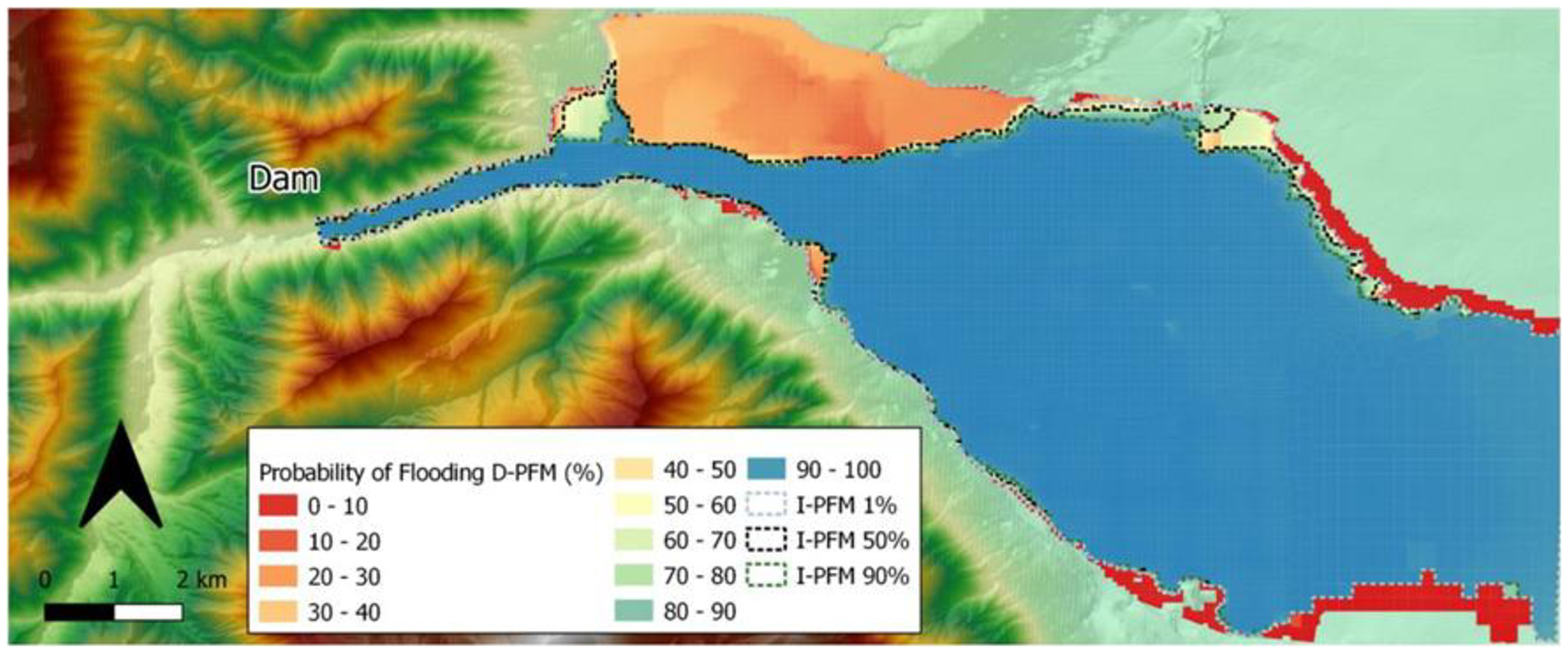
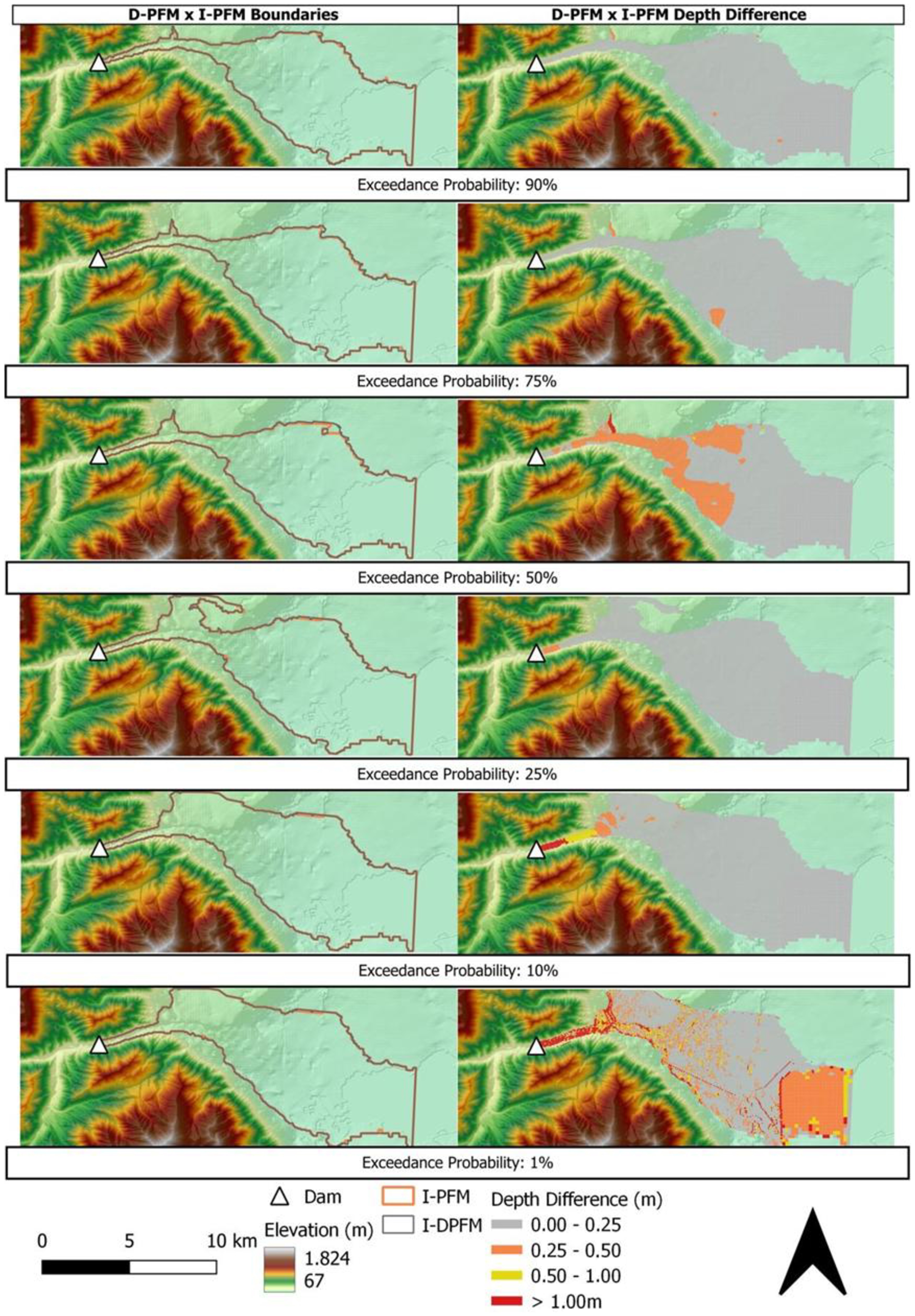
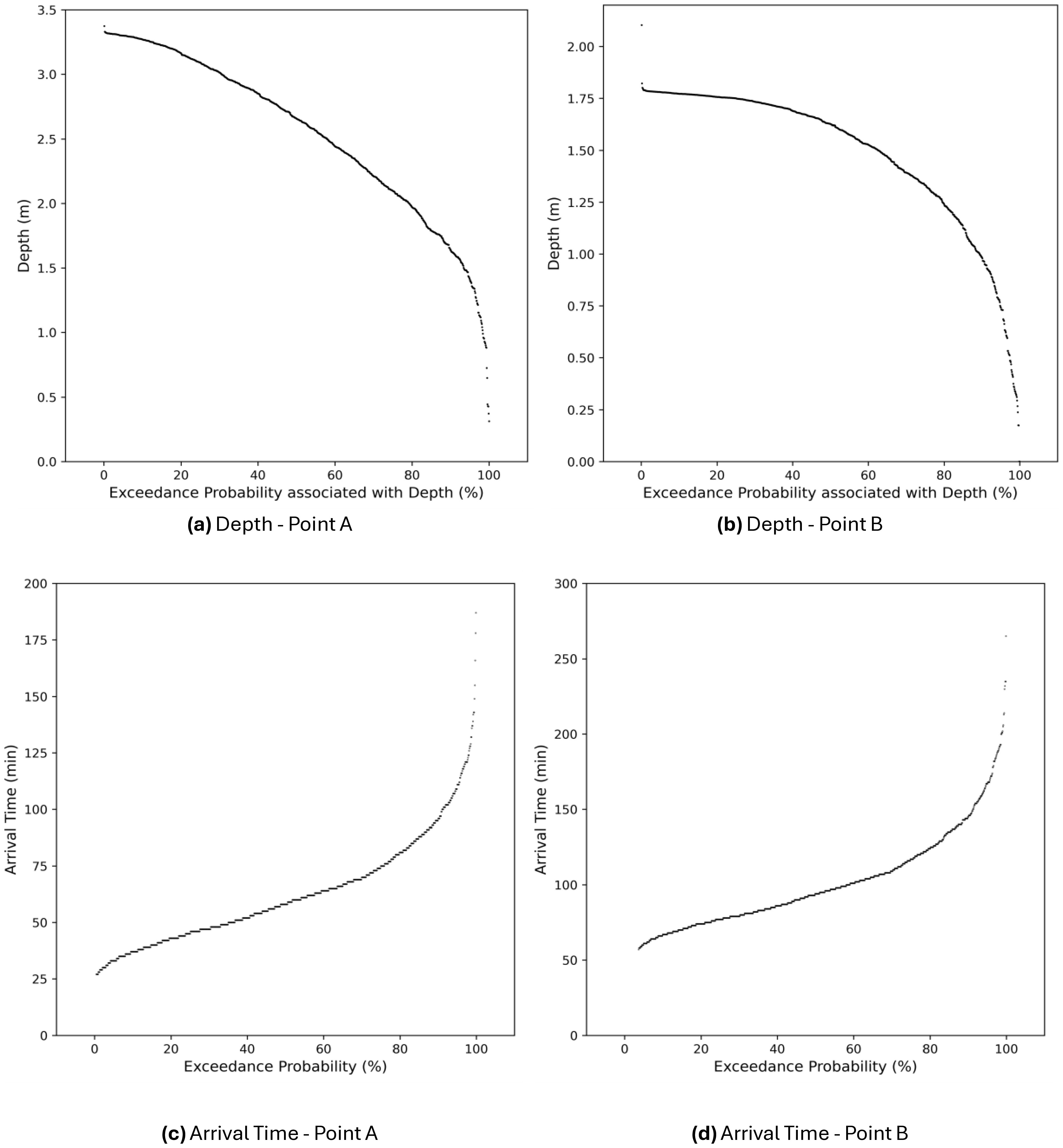
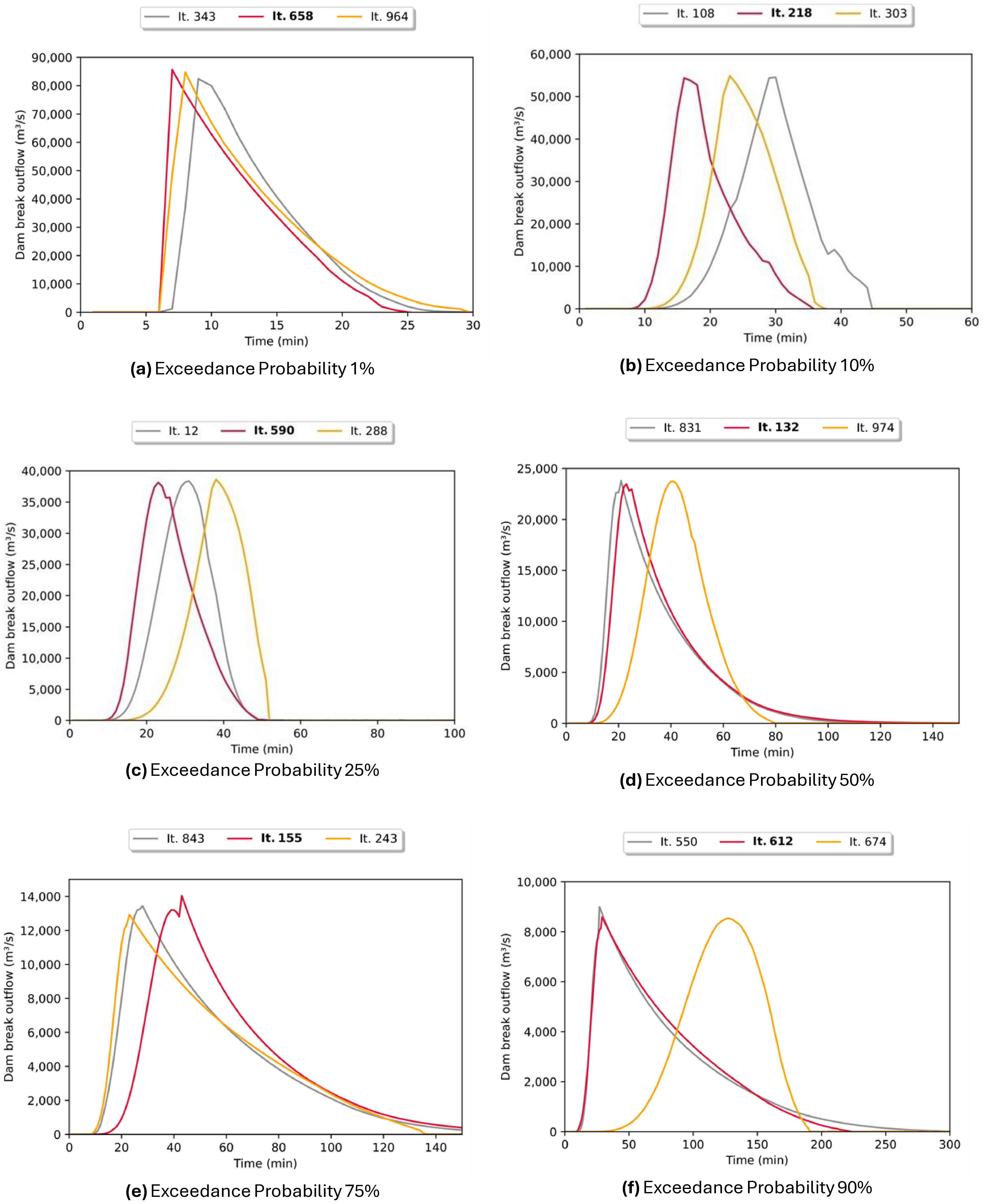
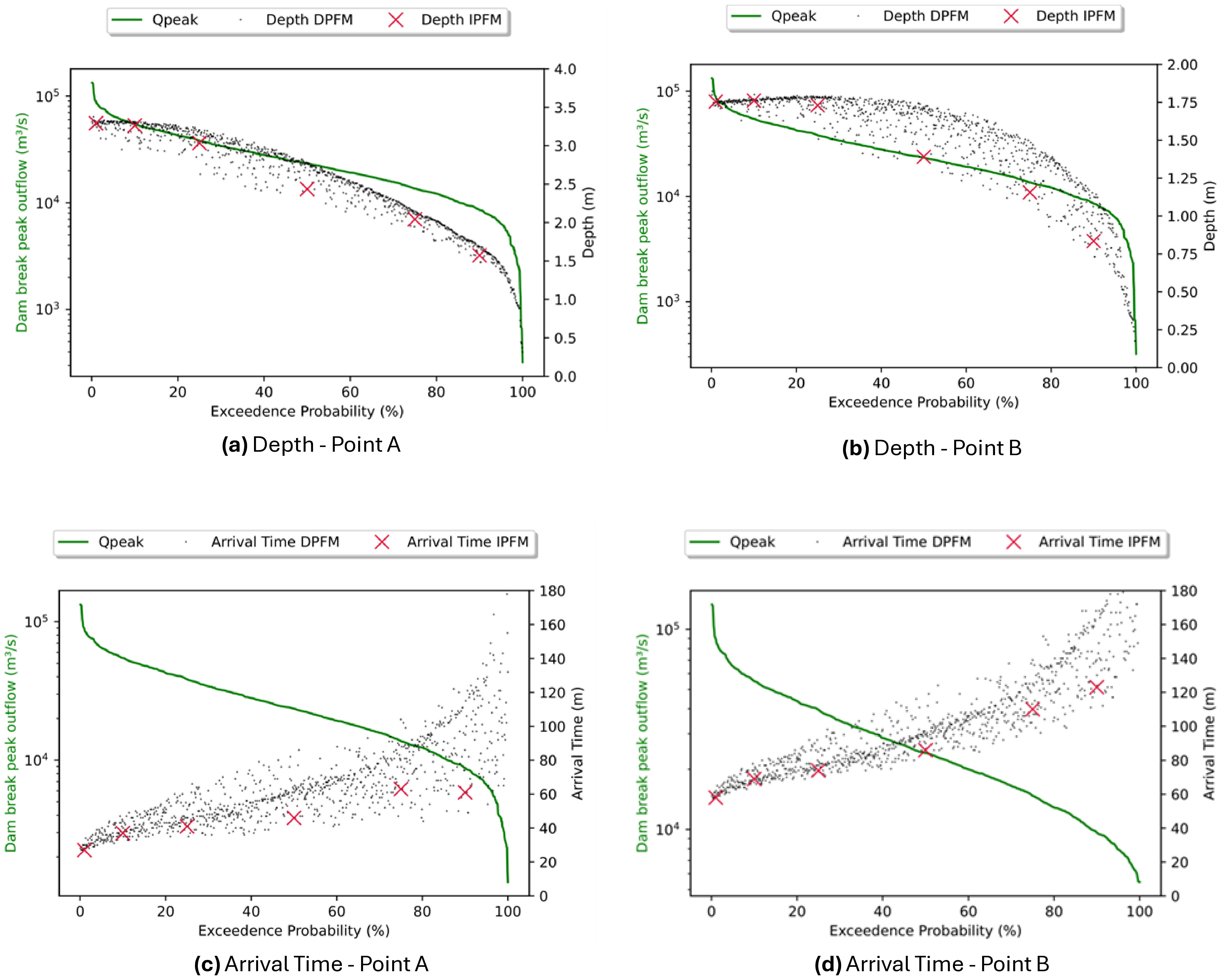
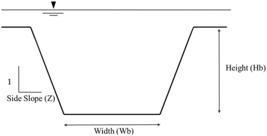
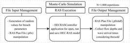
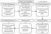
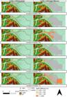
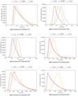
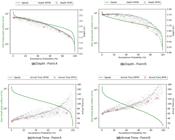
Flood modeling and mapping involve considerable uncertainties, particularly in dam-breach studies. To better account for these uncertainties, probabilistic flood-mapping approaches have been increasingly adopted as alternatives to traditional deterministic methods. This study aims to evaluate and compare two probabilistic flood-mapping approaches applied to dam-breach modeling: truncated hydrodynamic models, widely used due to their lower computational demand, and full 2D hydrodynamic models, commonly employed in natural flood mapping. Python scripting and Monte Carlo simulations in HEC-RAS were used to propagate uncertainties in breach parameters (side slope, height, width, and formation time). In a well-established benchmark case study, results revealed significant differences in flood depths (1%–15%) and arrival times (3%–36%), despite minor variations in inundated areas (<2%). Spatially, full 2D models provided greater detail and accuracy, especially in potentially affected residential and commercial zones. Overall, the study provides a clearer basis for selecting the most appropriate probabilistic approach in dam safety analyses and emergency planning, contributing to more reliable and computationally efficient flood-risk assessments.
Keywords:
Probabilistic flood mapping; Dam breach; Truncated models; Python; HEC-RAS; Equifinality
 Thumbnail
 Thumbnail
 Thumbnail
 Thumbnail
 Thumbnail
 Thumbnail
 Thumbnail
 Thumbnail
 Thumbnail
 Thumbnail
 Thumbnail
 Thumbnail