
 Spatiotemporal Dynamics of Vegetation Cover and Drought Conditions in the Semi-Arid Region of Brazil
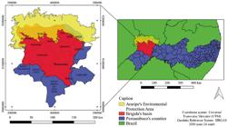
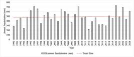
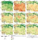
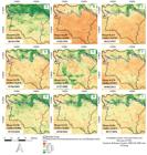
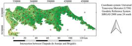
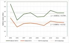
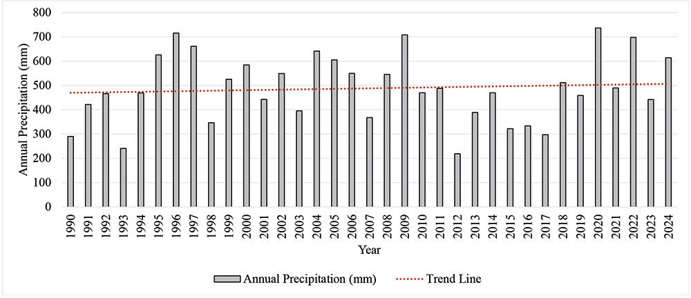
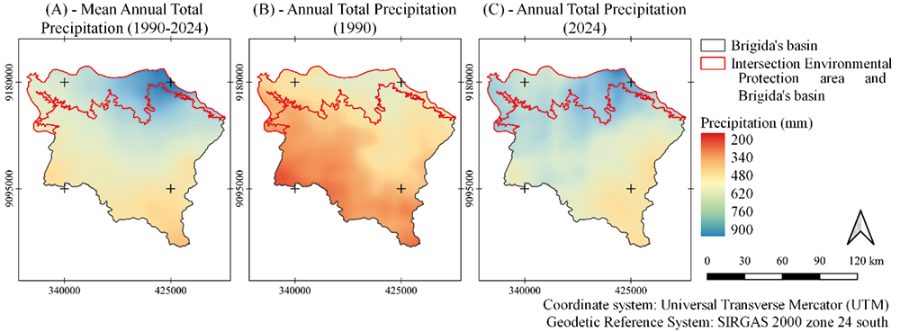
Studying a region's spatiotemporal dynamics provides essential data on changes over time, and Remote Sensing facilitates the generation of this data, offering a comprehensive view of transformations in an interest area. This work involves the use of Normalized Difference Vegetation Index (NDVI), Enhanced Vegetation Index (EVI) and Standardized Precipitation Index (SPI) to provide information on spatiotemporal dynamics of vegetation and drought conditions in Brígida’s River Basin, located in Pernambuco’s state, Brazil, as well as Chapada do Araripe region inserted in the same basin, using nine images from TM Landsat 5 and OLI Landsat 8 satellites on different dates. Precipitation data were obtained from the Climate Hazards Group InfraRed Precipitation with Station (CHIRPS) with a cutout for the Brígida basin from 1990 to 2024. The results allowed to observe temporal pattern of precipitation events every three months through SPI-3, with periods of greater intensity drought and duration for 1991-1993, 1998-1999 and 2012-2017 periods, as well as the changes in the amount of vegetative vigor studied over different dates in the basin, with the image from 06/16/1990 standing out with the highest values of vegetation indices, with results above 0.5 for NDVI and above 0.3 for EVI, especially in the Chapada do Araripe region. It was concluded that the results revealed the impact of precipitation and drought on reducing vegetative vigor over time, providing crucial data for water resource management, water security, and climate change mitigation strategies.
Keywords:
Vegetation indices; Remote Sensing; Water
 Thumbnail
 Thumbnail
 Thumbnail
 Thumbnail
 Thumbnail
 Thumbnail
 Thumbnail
 Thumbnail
 Thumbnail
 Source:
  Source: The authors (2025).
 Source:
  Source:
  Source:
  Source: The authors (2025).
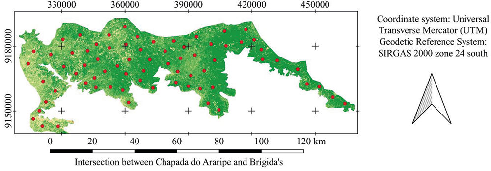 Source:
 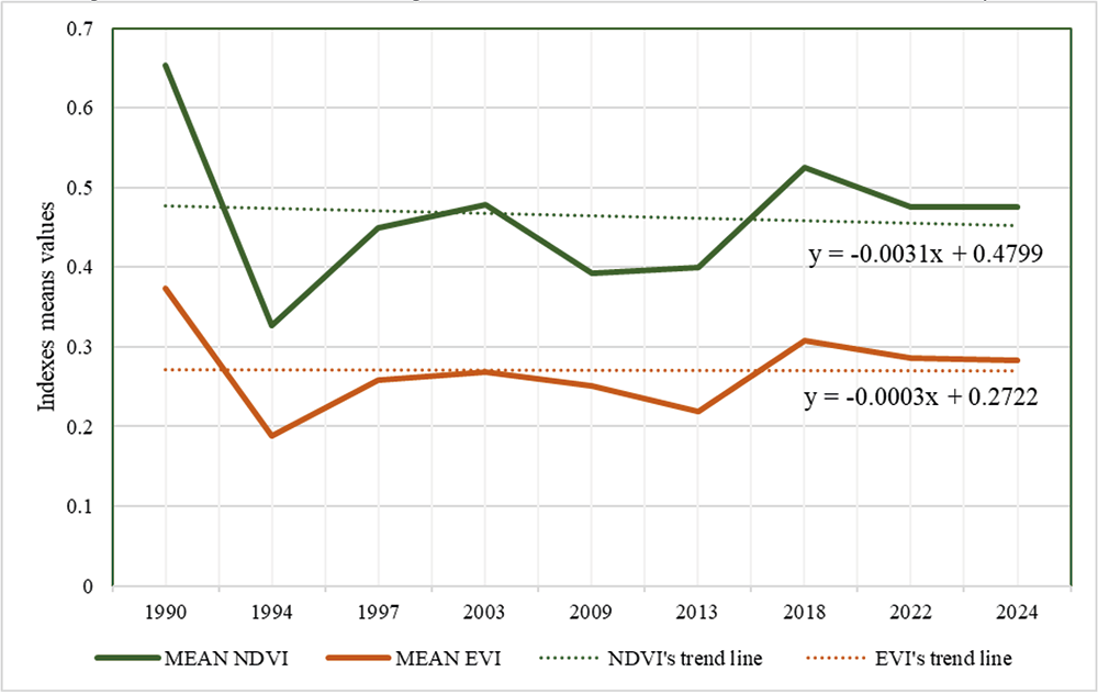 Source: The authors (2025).
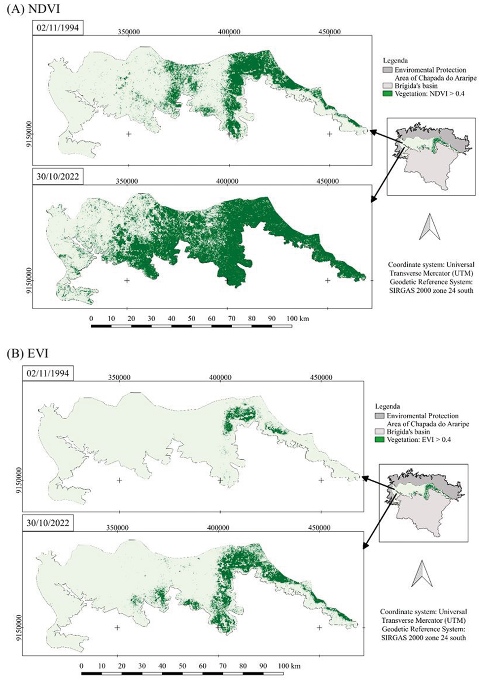 Source: