
 Feasibility of Using Drones for Monitoring Soybean Crops: A Comparative Study in Jataí-GO
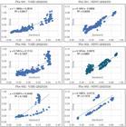
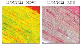
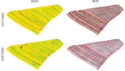
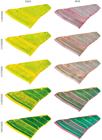
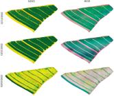
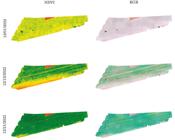
Technological advancements have reduced geographical barriers, demanding rapid adaptation across all sectors, including the use of remotely piloted aircraft (RPAs), commonly known as drones, which have been widely applied in areas such as urban and agricultural monitoring. In municipalities like Jataí-GO, where agribusiness is predominant, the use of RPAs for measuring vegetative indices (VIs) brings benefits for more precise and sustainable agricultural practices. However, the cost of some RPAs limits their broader adoption, as many devices can exceed R$ 160,000 (Brazilian currency). This research is experimental and aimed to develop techniques for using rotary-wing drones, which are more affordable than other models available on the market, to generate vegetation indices for mapping and monitoring commercial grain crops. The methodology consisted of: 1) field surveys in soybean planting areas; 2) acquisition of images from the Sentinel-2 satellite and the drone; 3) processing of images captured by the Phantom 4 PRO drone, equipped with a MAPIR Survey 3W camera; and 4) analysis of correlations between the VIs obtained by the drone and Sentinel-2 in two areas on the campus of the Federal University of Jataí (UFJ), for validation. Data collection included the use of a high-precision Trimble R4s GNSS for georeferencing. The results show a strong correlation between the VIs calculated using drone and Sentinel-2 images for soybean crops, with coefficients of determination (R²) exceeding 0.72 for VARI and 0.73 for NDVI. Plot 001 stood out for its uniformity, achieving high coefficients of determination, reinforcing the effectiveness of the geotechnologies employed. In more heterogeneous areas, such as plot 002, the VIs revealed differences, particularly with the VARI index, which proved less efficient for mixed cultivation environments. The data confirms that VIs generated by cost-effective drones can indicate planting variations, demonstrating the feasibility of their application in the agricultural sector without significant investments.
Keywords:
Aerial Photogrammetry; Geotechnologies; MAPIR; Vegetation Indices
 Thumbnail
 Thumbnail
 Thumbnail
 Thumbnail
 Thumbnail
 Thumbnail
 Thumbnail
 Thumbnail
 Thumbnail
 Thumbnail
 Thumbnail
 Thumbnail
 Thumbnail
 Thumbnail
 Thumbnail
 Thumbnail
 Thumbnail
 Thumbnail
 Thumbnail
 Thumbnail
 Thumbnail
 Thumbnail
 Thumbnail
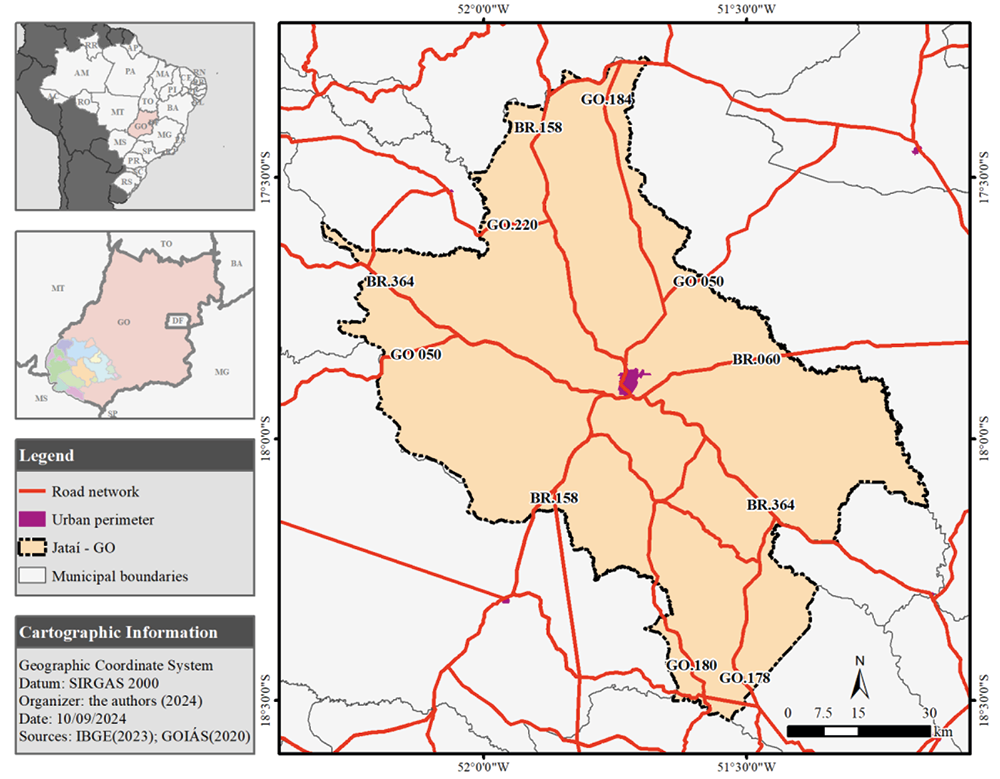 Source:
  Source: The authors (2024).
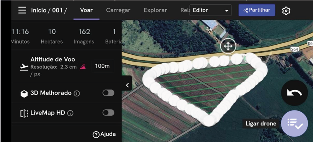 Source: The authors (2024).
 Source: The authors (2024).
 Source: The authors (2024).
 Source: The authors (2024).
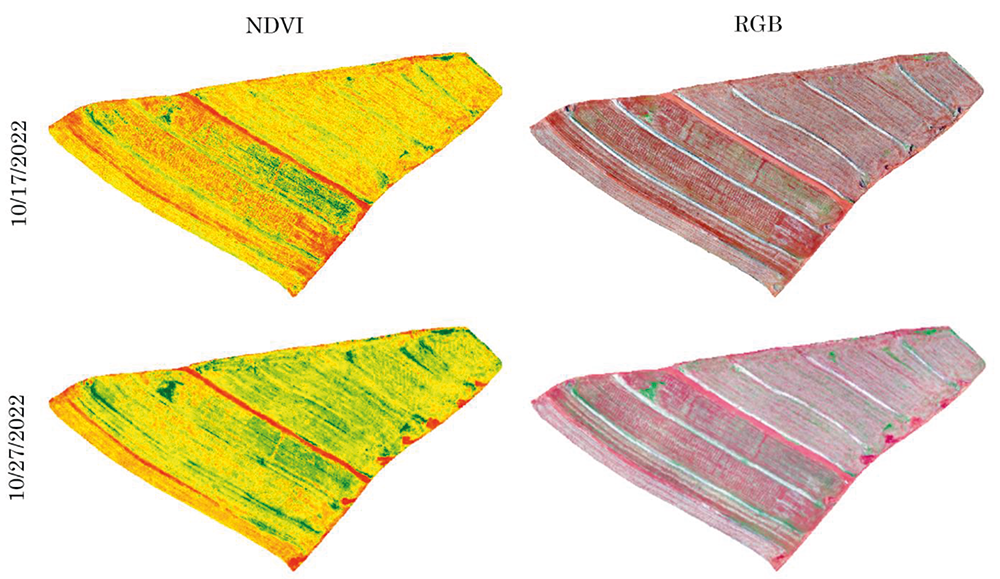 Source: The authors (2024).
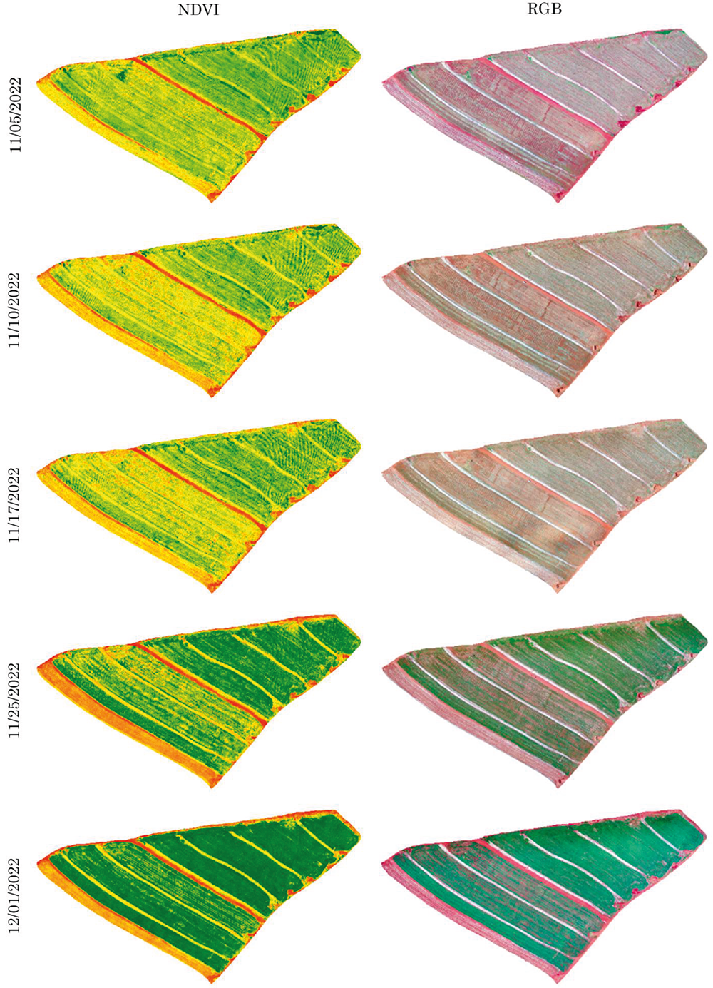 Source: The authors (2024).
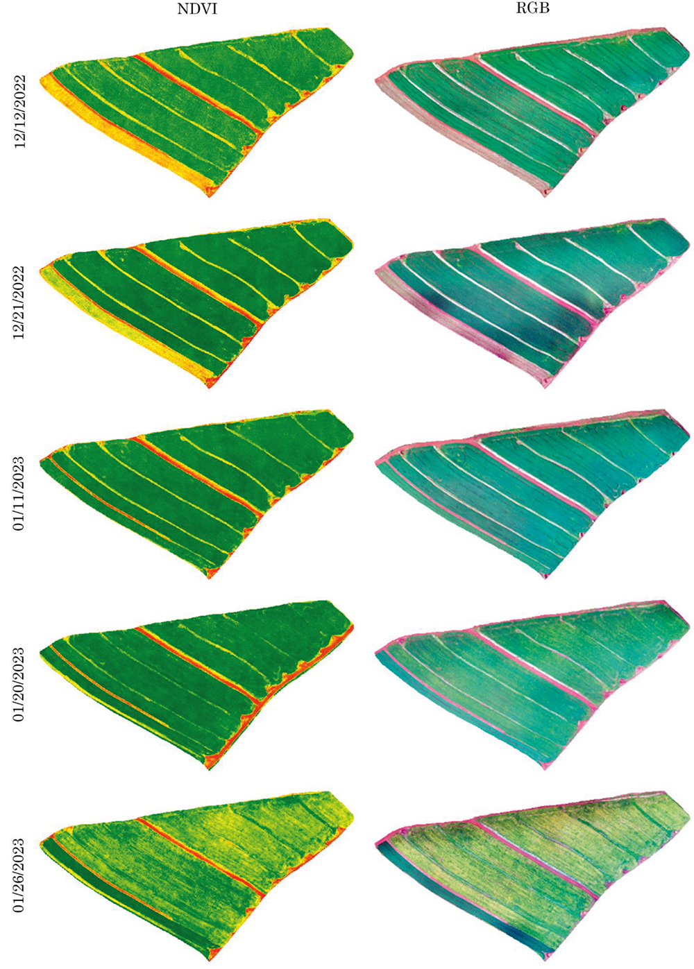 Source: The authors (2024).
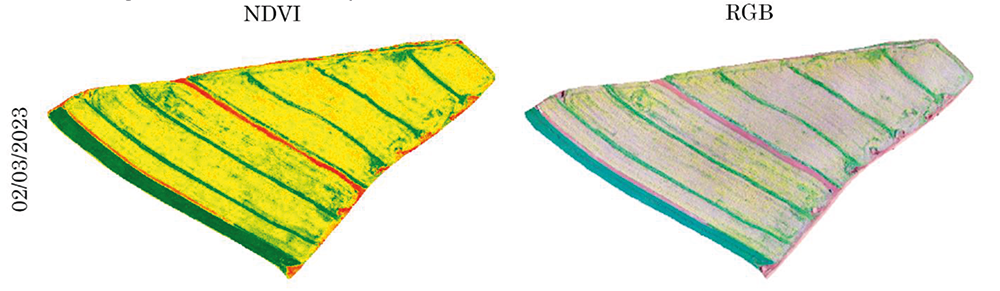 Source: The authors (2024).
 Source: The authors (2024).
 Source: The authors (2024).
 Source: The authors (2024).
 Source: The authors (2024).
 Source: The authors (2024).
 Source: The authors (2024).
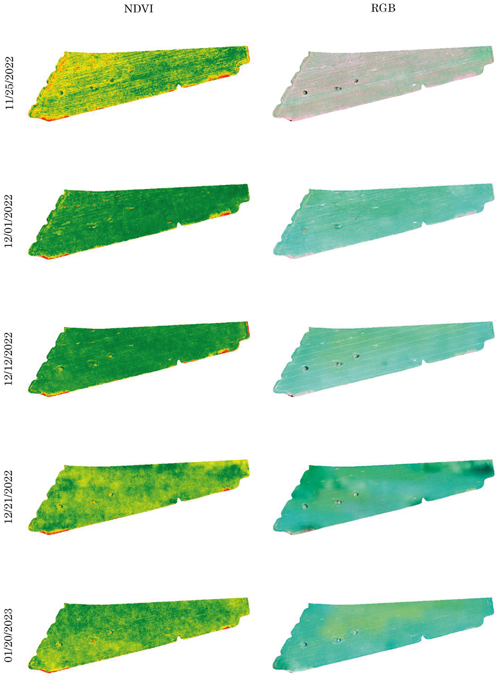 Source: The authors (2024).
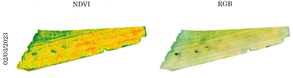 Source: The authors (2024).
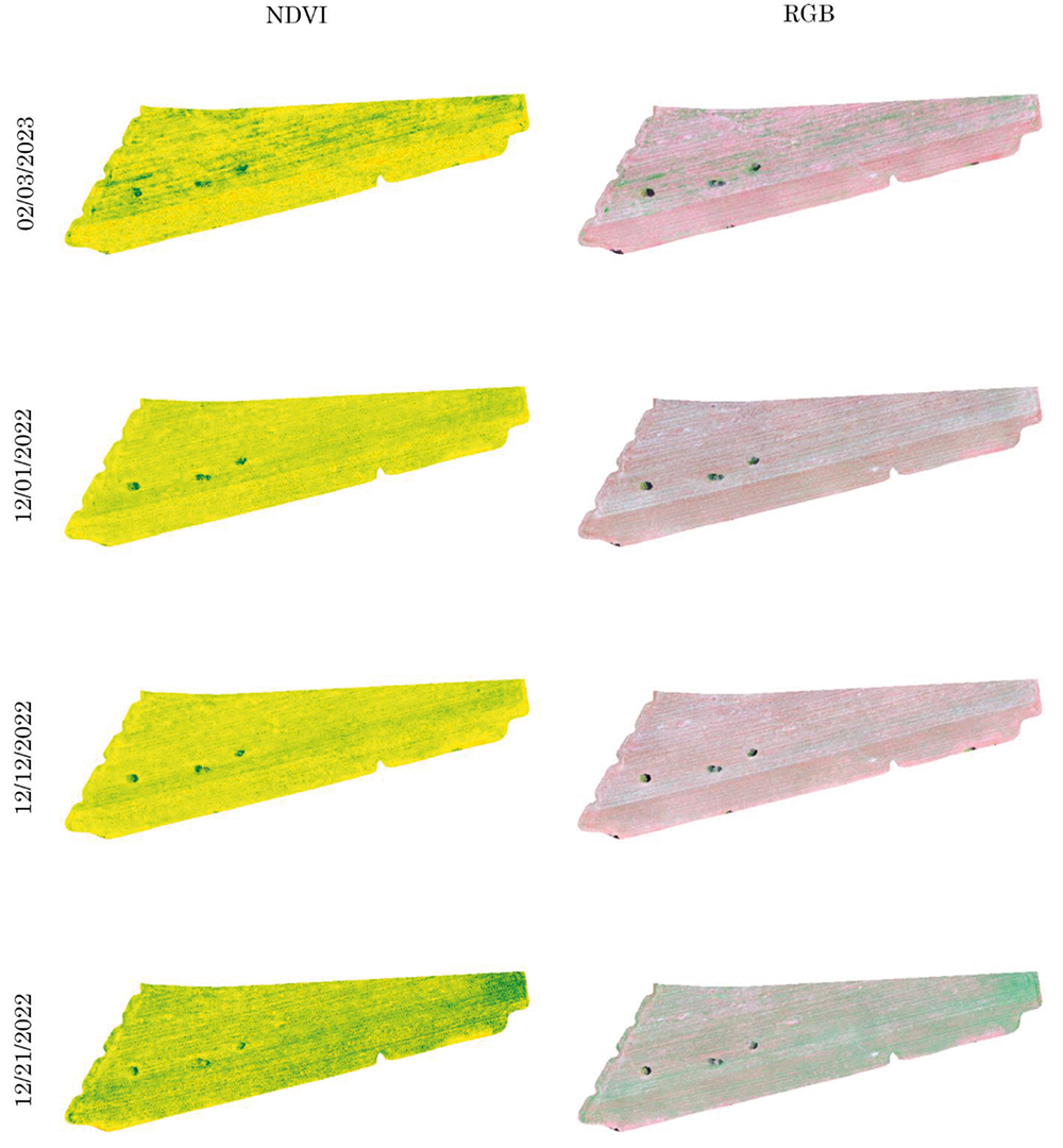 Source: The authors (2024).
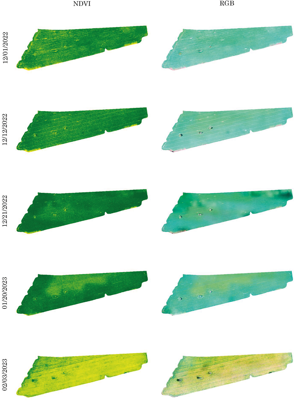 Source: The authors (2024).
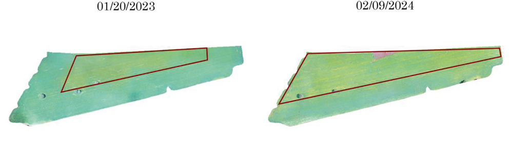 Source: The authors (2024).
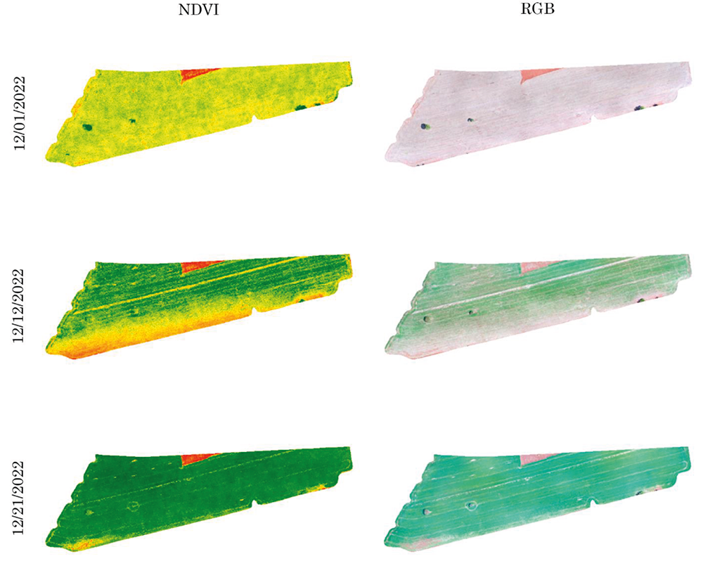 Source: The authors (2024).
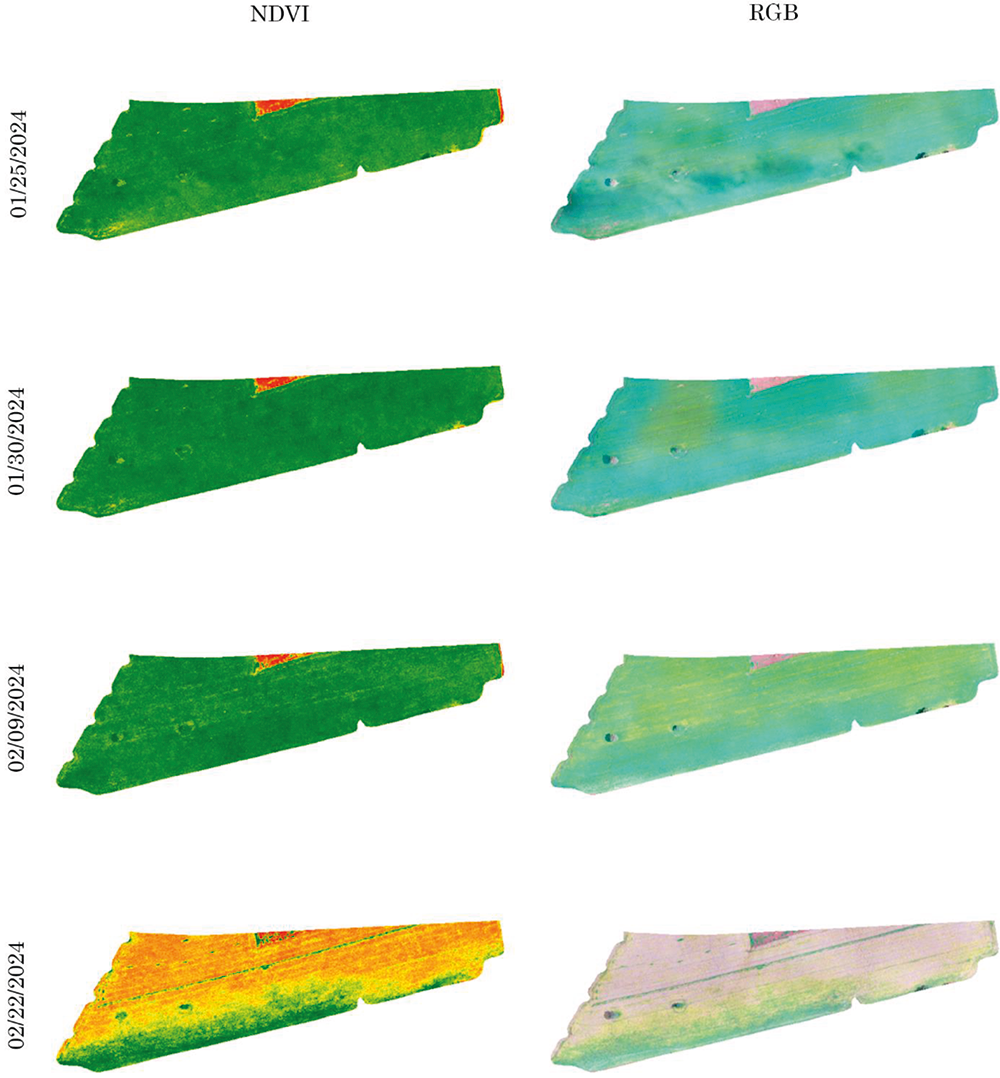 Source: The authors (2024).