
 Application of the Roughness Concentration Index (RCI) in the Assessment of the Flood Extent of the 2024 Flood Event in the Municipality of Pelotas-RS
The present study investigates the increasing recurrence of catastrophic events, particularly urban flooding, and their associated social and economic impacts. The research underscores the role of precipitation intensity and spatial-temporal patterns as critical drivers exacerbating flood events, especially in socially and geographically vulnerable urban areas. The main objective is to assess the flood extent generated by the 2024 flood event in Pelotas, Rio Grande do Sul, through the application of the Rugosity Concentration Index (RCI). The RCI is a geomorphological technique used to analyze the Earth's surface, identifying areas with homogeneous terrain characteristics, particularly regarding surface roughness distribution. Specific objectives include the identification and characterization of zones with varying degrees of rugosity within the flood extent, correlating these patterns with spatial coverage and water depth. The methodological framework employed advanced Geographic Information System (GIS) techniques for spatial data processing, including the development of a detailed cartographic base and the extraction of elevation data from municipal altimetry datasets. The results demonstrate the effectiveness of the RCI in detecting morphometric patterns and quantifying terrain roughness, contributing to a better understanding of hydrological redistribution processes during extreme events. Critical areas were identified where terrain roughness significantly influenced both the spatial extent and depth of floodwaters. The study concludes that the integration of the RCI into flood risk assessments can offer strategic insights for urban planning and disaster risk reduction, supporting the implementation of Sustainable Development Goals (SDGs) 1, 11, and 13, and promoting the development of resilient and sustainable urban environments.
Keywords:
RCI; GIS; Flood Extent; SDGs; Floods
 Thumbnail
 Thumbnail
 Thumbnail
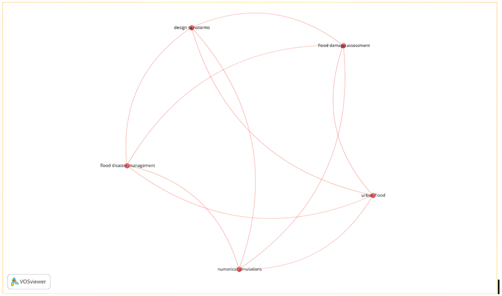 Source: The authors (2024).
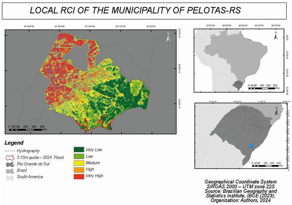 Source: The authors (2024).
 Source: The authors (2024).