
 Geomorphological Transformations and Urbanization: Study of the Stages of Anthropogenic Change in the watershed Tiger River (1975-2023)
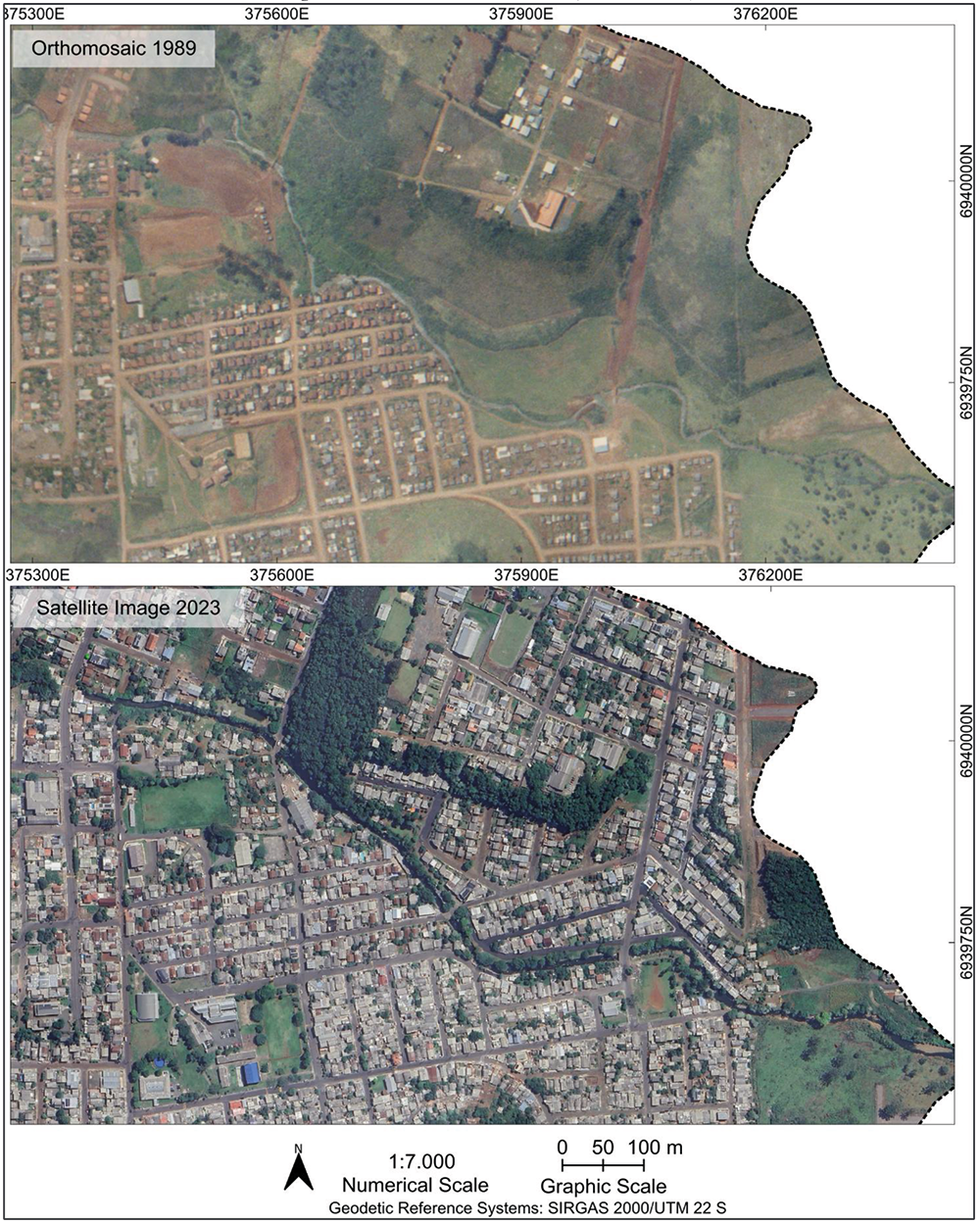
Human activities have modified the relief since the Paleolithic period, intensifying after the Industrial Revolution, especially in urban areas. This study examines the geomorphological and hydrological transformations that occurred in the Tigre River basin in Erechim, Rio Grande do Sul, over nearly five decades of urbanization. The methodological procedures adopted were structured within a multitemporal approach, enabled by the use of Geographic Information Systems (GIS) and geoprocessing techniques. Cartography, remote sensing, and photointerpretation were applied. This analytical strategy made it possible to classify the different stages of human intervention, investigate changes in river dynamics, and understand the effects of urbanization on local geomorphological and hydrological processes. The results reveal that, by 2023, urban coverage of the basin reached 79.48%, with a predominance of the Active Disturbance and Post-Disturbance stages. These transformations impacted surface and subsurface flows, increasing susceptibility to flooding. Intensified waterproofing, reduced infiltration, and modifications to drainage networks were also observed, all of which compromise the hydrogeomorphological balance. The conclusion is that mitigation measures, such as sustainable management and restoration of riparian vegetation, combined with public urban planning policies, are necessary to contain the effects of urbanization and reduce the risks of landslides, floods, and environmental degradation.
Keywords:
Urban Geomorphology; Stages of urban intervention; Multitemporal analysis; Methodological guidelines
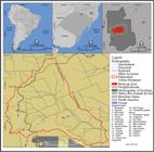 Thumbnail
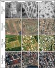 Thumbnail
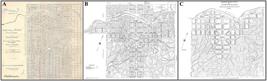 Thumbnail
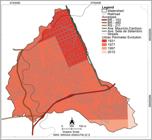 Thumbnail
 Thumbnail
 Thumbnail
 Thumbnail
 Thumbnail
 Thumbnail
 Thumbnail
 Thumbnail
 Source:
 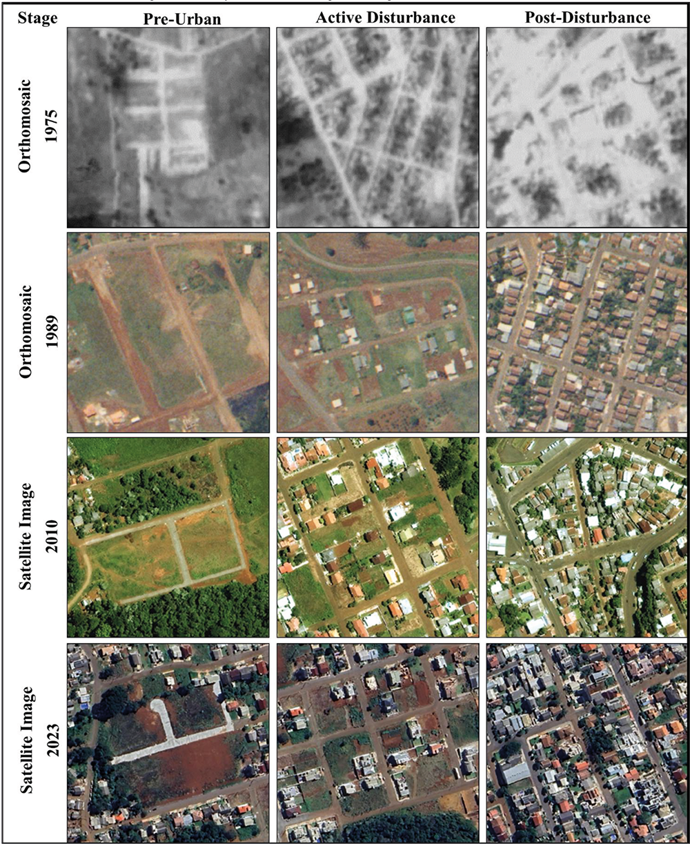 Source:
  Source:
  Source:
 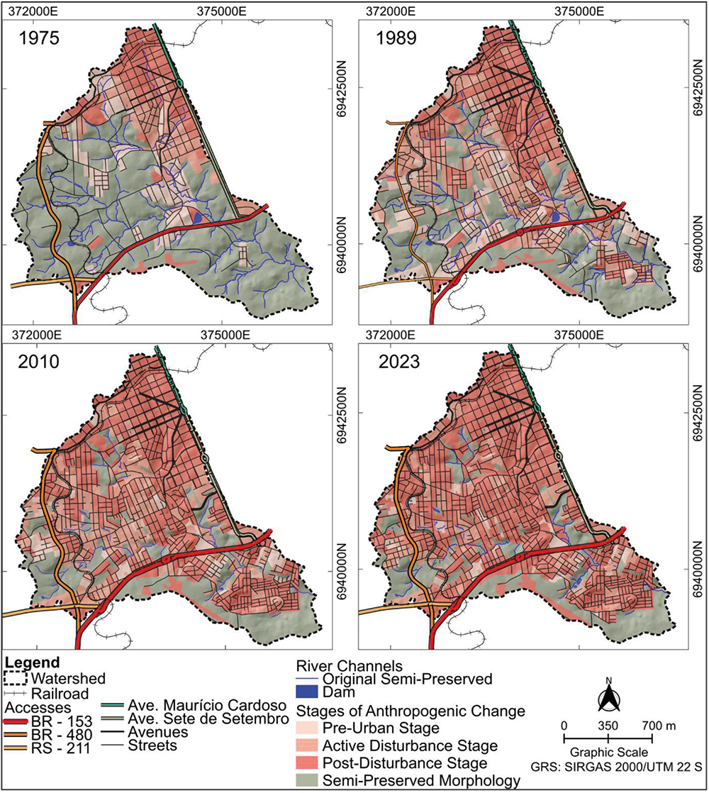 Source:
 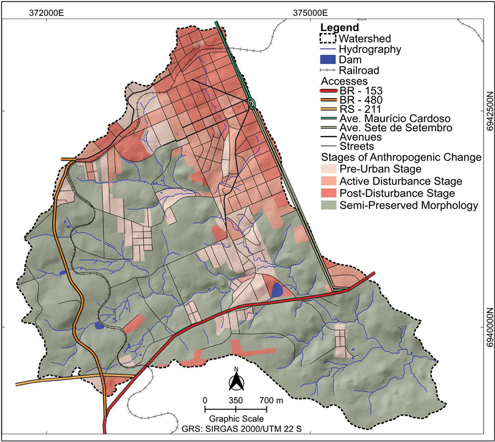 Source:
 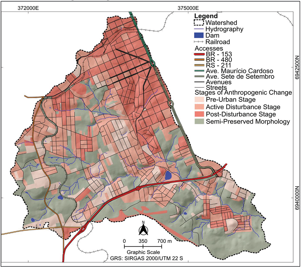 Source:
  Source:
  Source:
  Source:
  Source: