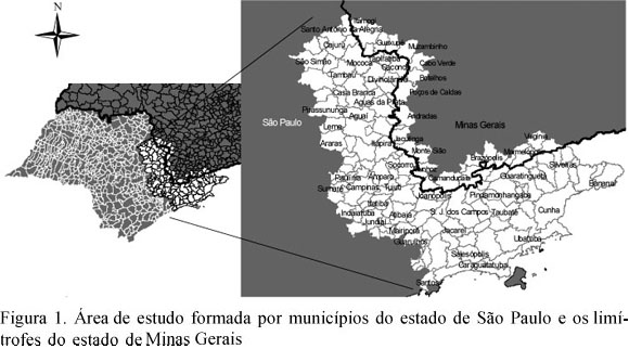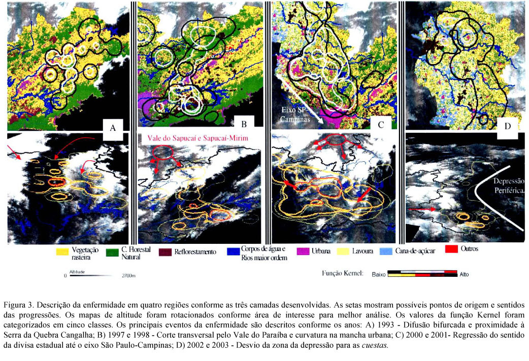
The influence of the mosaics of land use and land cover in the spatial distribution of cattle rabies was described in the major incidence region of the State of Sao Paulo, from 1992 to 2003. Geotechnologies were used to build three layers: the disease established by a kernel function, the land use and land cover obtained by satellite images classification, and the altitude. The disease was hardly shaped by grasslands. The relief seems to form the land use and land cover, which determine the regions for the occurrence or not of the disease. Large continuous areas of the same land use and land cover tend to be a protection to cattle rabies or to favor it in the neighborhood areas.
remote sensing; GIS; Desmodus rotundus; spatial analyses